What we can learn about Earth from space

FIBK

Satellites orbiting the Earth send increasing amounts of high-quality data. Researchers, companies and governments can leverage that.
It’s been a while since 1960, and NASA is well aware of that. Its first weather satellite, TIROS-1, was launched back in 1960. Although people back then dreamed of future space projects to explore other worlds, NASA seemed more interested in a new perspective on the planet we have inhabited for thousands of years.
Today, Earth observation remains one of the main objectives of the dozens of orbital launches that take place every year. The space projects of the future that stimulate our imagination the most take us to the Moon, Mars or Jupiter. However, the ones that can do the most for us are perhaps those that seek to observe our own environment.
Better images, more accurate information
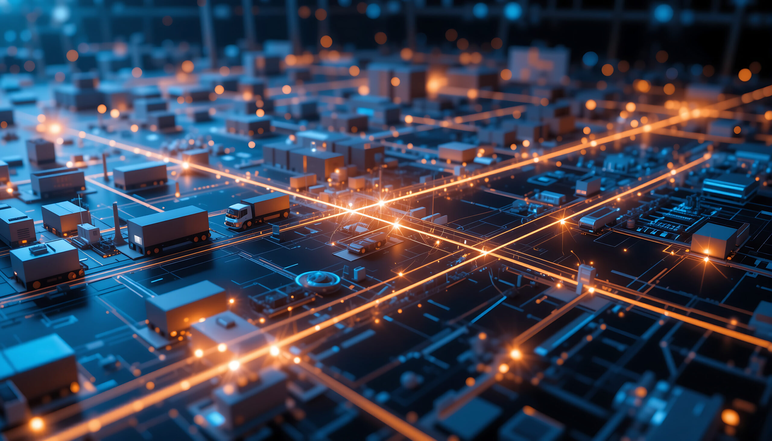
The Future Trends Forum report of the Bankinter Innovation Foundation on the Commercialization of Space already warned us: there are increasingly more data about what is happening on Earth. Satellites and sensors using imaging technology take different types of images and revisit zones of interest more and more often.
Why revisit? Quite simply: when a satellite passes over the same site twice, it can pick up the changes that have occurred between visits. The more frequent these visits are, the more detail we will obtain about these changes. This data is very valuable for understanding the evolution of different processes.
As more and more increasingly accurate data become available, they can be leveraged more easily and accurately. Researchers, corporations and governments can make better decisions as a result.
Is that a lightning bolt over there?
A clear example of the improvements in Earth observation can be seen in the range of satellites we are all most familiar with: meteorological satellites.
The second generation of Meteosat satellites considerably improved both the resolution and frequency of the images taken by first-generation satellites. This made it much easier to detect high-impact and rapidly developing phenomena—such as flash storms—and to alert the population to safety earlier.
The third generation, whose first satellite was launched in late 2022, aims to go one step further and forecast flash storms several hours in advance, rather than minutes. They will do so thanks to the incorporation of a hybrid flexible camera—which will provide higher resolution images—and a lightning detector. Two inventions that can save many lives on Earth from space. If this continues, who knows how many lives will be saved by future space projects that will monitor our atmosphere?
Data on demand
Beyond the observational projects of large government agencies, there are already private initiatives that provide daily data on the changes our planet is undergoing, based on their observations from space.
An example of this is Planet, a company that has deployed 452 satellites in ten years. It currently has 150 satellites in orbit that collect some 350 million square kilometers in images every day.
In addition, Planet has launched three types of satellite constellations, each with different spatial, temporal and radiometric resolutions. With them they can capture what is happening on Earth from multiple perspectives and dimensions.
This type of deployment, together with technological advances in image capture, enables user- and application-driven data customization. In fact, Planet’s client base is very diverse: they operate in agriculture, insurance, finance, forestry, education and research, to name a few.
Valuable information for all
Planet illustrates how we can draw insights from data captured thousands of miles above the ground. Today, geospatial information serves many purposes here on Earth. The use of artificial intelligence tools and Big Data magnify their value
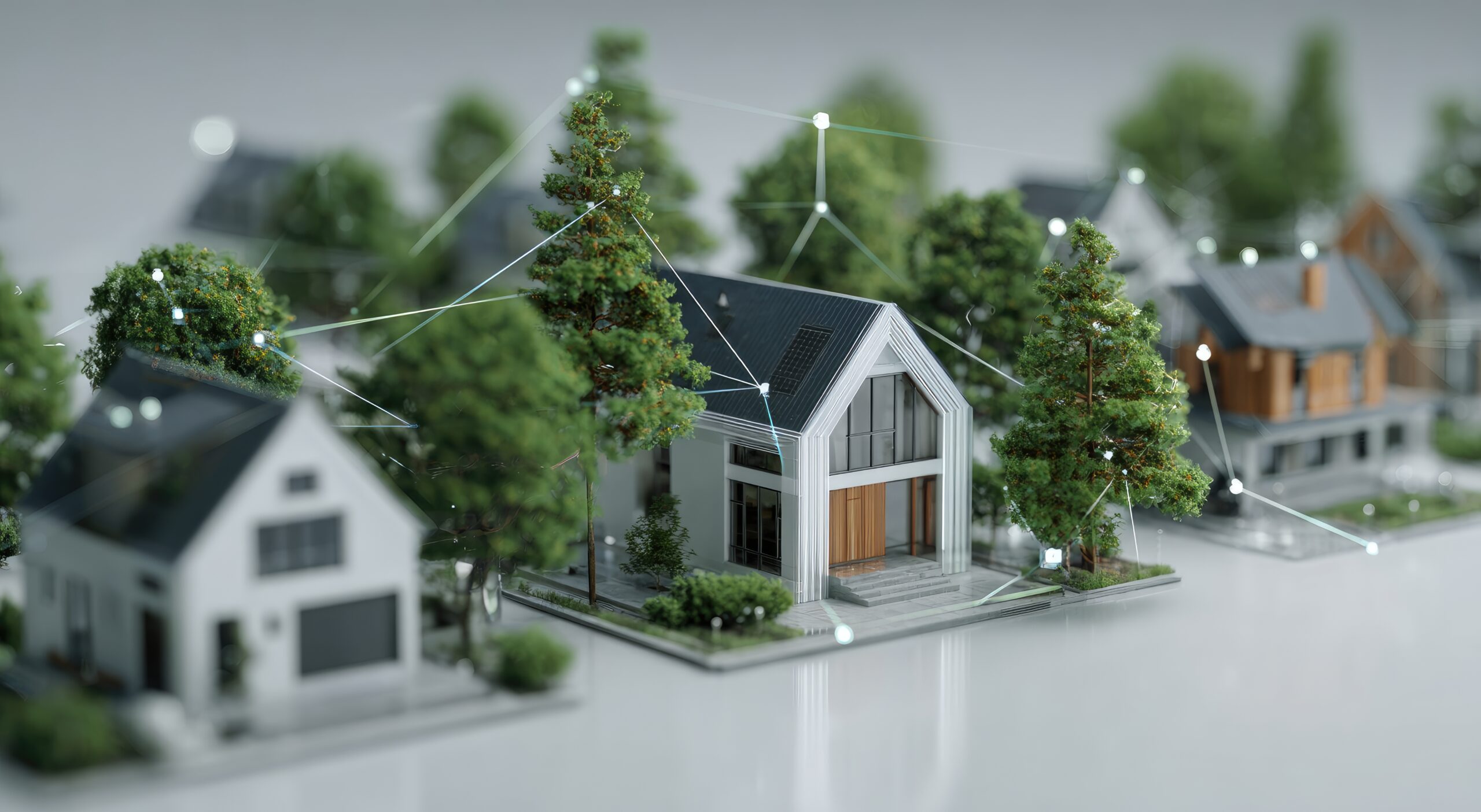
The great questions and challenges we face are among these purposes. Environmental stewardship is one of the best known and multifaceted. There are already projects that use satellite imagery to estimate a country’s greenhouse gases in almost real time. This is very useful to know who is meeting their commitments diligently and who is dragging their feet.
Other projects monitor soil evapotranspiration with satellites that capture visual and thermal images of crop fields. These data are then combined using machine learning so that farmers can identify which crops are under water stress even before the first signs appear. This enables them to optimize irrigation , conserve a scarce resource, and increase both the sustainability and profitability of their activity.
On the other hand, calculating the impact of natural disasters or cross-checking unreliable official data is very valuable for companies in the insurance and financial sectors. Logistics businesses must catch any disruptions in supply chains as early as possible in order to solve them. Meanwhile, infrastructure companies must plan and monitor large projects in several countries at once. The satellites swarming in space can provide all of them with the information they need.